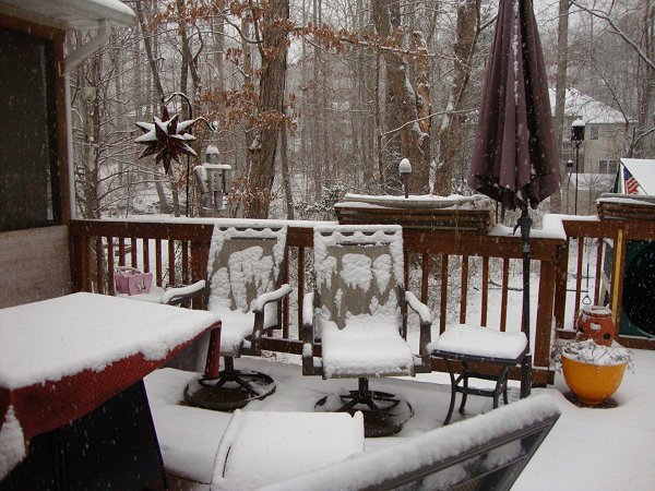
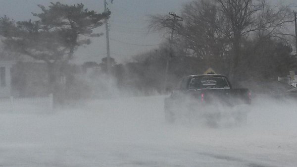
Locust Grove, Virginia
A special thanks to Nieciez for the above photo
Snowfall amounts included:
Delaware: Dover: 4.0"; Ellendale: 6.2"; Greenwood: 7.5"; Harrington: 5.2"; Millsboro: 7.0"; Newark: 1.0"; Stockley: 6.0"; Viola: 4.5"; Wilmington: 0.7"; and, Woodside: 4.0"
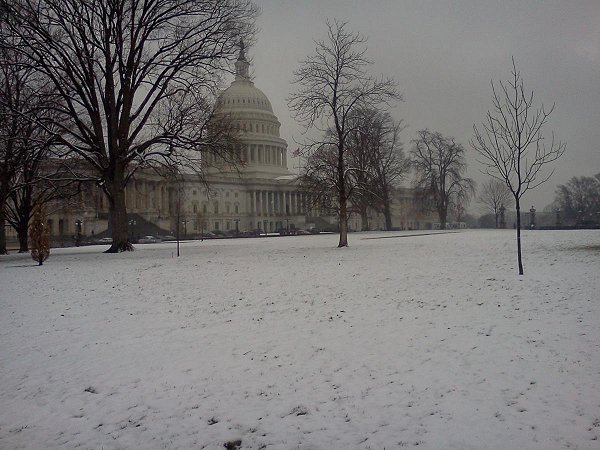
District of Columbia: Washington: 1.7"
Maine: Bar Harbor: 1.5"; Dennysville: 5.0"; East Machias: 6.0"; Eastport: 7.3"; Lamoine: 1.0"; Prospect Harbor: 3.0"; Roque Bluffs: 3.0"; Surry: 2.5"; and, Topsfield: 1.5"
Maryland: Baltimore: 0.2"; Clarksburg: 3.1"; Columbia: 3.8"; East New Market: 5.5"; Highland: 3.2"; Ocean City: 1.5"; and, Salisbury: 4.0"
Massachusetts: Boston: Trace; Brewster: 5.0"; East Falmouth: 5.5"; Edgartown: 3.5"; Harwich: 4.0"; Harwichport: 6.0"; Nantucket: 9.5"; New Bedford: 1.0"; Plymouth: 2.0"; and, Wellfleet: 4.0"
New Brunswick: Bathurst: 1.8" (4.6 cm); Baxters Corner: 11.0" (28.0"); Gagetown: 3.9" (9.8 cm); Middleton: 16.9" (43.0 cm); Moncton: 16.3" (41.4 cm); and, Saint John: 3.6" (9.2 cm)
New Jersey: Atlantic City: 4.2"; Cape May: 6.5"; Ewing: 0.1"; Freehold: 1.5"; Ocean City: 5.0"; Pleasantville: 4.2"; Somers Point: 4.8"
New York: Islip: Trace and New York City: Trace
Newfoundland and Labrador: Corner Brook: 11.4" (29.0 cm) and St. John's: 4.8" (12.2 cm)
Nova Scotia: Amherst: 15.7" (40.0 cm); Halifax: 8.4" (21.4 cm); Port Maitland: 16.9" (43.0 cm); Pugwash: 13.4" (34.0 cm); Rawdon Gold Mines: 22.8" (58.0 cm);, and Yarmouth: 16.4" (41.6 cm)
Pennsylvania: Allentown: 0.9"; East Nantmeal: 1.3"; Philadelphia: 0.4"; and, Plymouth Meeting: 1.5"
Prince Edward Island: Alberton: 14.1" (35.9 cm); Alliston: 8.3" (21.0 cm); Charlottetown: 21.1" (53.7 cm); Cornwall: 14.2" (36.0 cm); Elmwood: 22.1" (56.2 cm); New London: 15.0" (38.0 cm); North Rustico: 16.1" (41.0 cm); and, Stratford: 20.1" (51.0 cm)
Quebec: Blanc-Sablon: 12.6" (32.0 cm) and Gaspé: 9.4" (23.8 cm)
Rhode Island: Middletown: 0.5"
Virginia: Accomack: 2.5"; Ashburn: 3.0"; Culpeper: 3.3"; Fishersville: 4.3"; Manassas: 1.8"; Nellysford: 5.0"; Norfolk: Trace; Opal: 5.0"; Purcellville: 2.9"; Ravensworth: 3.0"; Sterling: 3.8"; Warrenton: 5.3"; Wallops Island: 2.0"; and, West Springfield: 3.0"
West Virginia: Shenandoah Junction: 1.8"
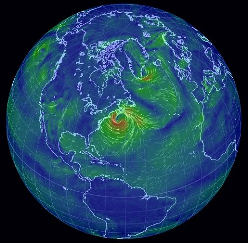
Select maximum sustained winds:
Massachusetts: Boston: 38 mph; Hyannis: 43 mph; Milton: 41 mph; Nantucket: 56 mph; and, Worcester: 39 mph
New Brunswick: Saint John: 40 mph
Newfoundland and Labrador: Sagona Island: 62 mph and St. John's: 40 mph
Nova Scotia: Beaver Island: 62 mph; Brier Island: 67 mph; Debert: 40 mph; Grand Étang: 70 mph; Greenwood: 48 mph; Halifax: 45 mph; Sable Island: 46 mph; Sydney: 40 mph; and, Yarmouth: 47 mph
Prince Edward Island: Charlottetown: 43 mph; Harrington: 41 mph; East Point: 52 mph; North Point: 54 mph; and, Summerside: 54 mph
Quebec: Chevery: 47 mph
Rhode Island: Providence: 44 mph
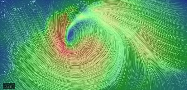
Select maximum wind gusts:
Maine: Surry: 52 mph and Topsfield: 50 mph
Massachusetts: Barnstable: 60 mph; Boston: 54 mph; Centerville: 62 mph; Eastham: 66 mph; Harwichport: 71 mph; Nantucket: 83 mph; Orleans: 65 mph; Plymouth: 60 mph; Worcester: 51 mph; and, Yarmouth: 60 mph
New Brunswick: Grand Manan Island: 61 mph; Miscou Island: 62 mph; and, Saint John: 57 mph
Newfoundland and Labrador: Allan's Island: 92 mph; Burgeo: 78 mph; Cape Ray: 116 mph; Fort Amherst: 82 mph; Norris Point: 128 mph; Pass Island: 104 mph; Port au Basques: 89 mph; Sagona Island: 84 mph; St. John's: 62 mph; and, Wreckhouse: 116 mph
Nova Scotia: Baccaro Point: 85 mph; Beaver Island: 83 mph; Brier Island: 87 mph; Caribou Point: 63 mph; Debert: 63 mph; Eskasoni: 69 mph; Grand Étang: 102 mph; Greenwood: 63 mph; Halifax: 62 mph; Hart Island: 77 mph; Sable Island: 59 mph; St. Paul Island: 77 mph; Sydney: 53 mph; and, Yarmouth: 62 mph
Prince Edward Island: Charlottetown: 58 mph; Harrington: 62 mph; East Point: 65 mph; North Point: 69 mph; and, Summerside: 70 mph
Quebec: Cape Whittle: 87 mph and Chevery: 68 mph
Rhode Island: East Providence: 50 mph and Warwick (Conimicut Point): 58 mph
News account from Nantucket:
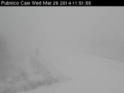
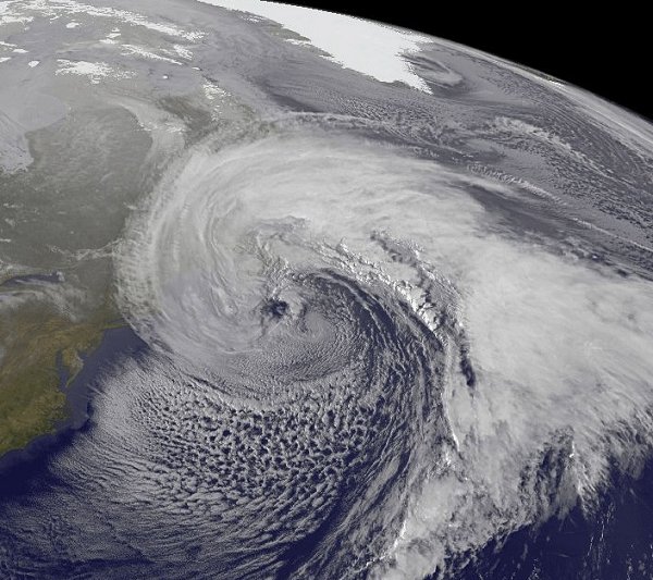
The powerful coastal storm that canceled school, boat and plane transportation to and from the island continued to pound Nantucket at noon [March 26], knocking out power to over 1,000 customers as high winds and blowing snow reduced visibility to near whiteout conditions, and drifts piled up against buildings and fences...
Just after 10:30 a.m. Milestone Road had been blocked by the State Police, and visibility was near zero due to driving snow and high winds. Drifts were already higher than the rooftops of vehicles on each side of the road, reaching six feet in some places.
Source: Joshua Balling, "Blizzard Bears Down," The Inquirer and Mirror, March 26, 2014.
News account from Nova Scotia:
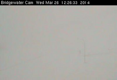
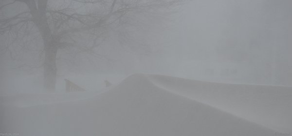
Let the record show the blizzard of ’14 occurred during what passes for spring in these parts.
Foul weather meant many Nova Scotians had a snow day Wednesday [March 26], as the province was mercilessly pounded by high winds, snow and near-whiteout conditions.
Source: Ian Fairclough and Michael Lightstone, "Storm Hammers Nova Scotia," The Chronicle Herald, March 26, 2014.